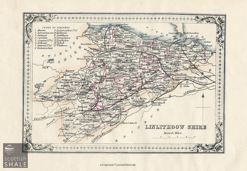
Map - Fullarton's map of Linlithgowshire
code: LVSAV2019.196
Description
Engraved and coloured map of Linlithgowshire, presumably taken from Fullarton's county atlas
A. Fullarton & Co, London and Edinburgh. Scale: 1 inch = 5 miles. The map seems to date from the mid-1850's and shows the routes of a number railways that were planned but never constructed.