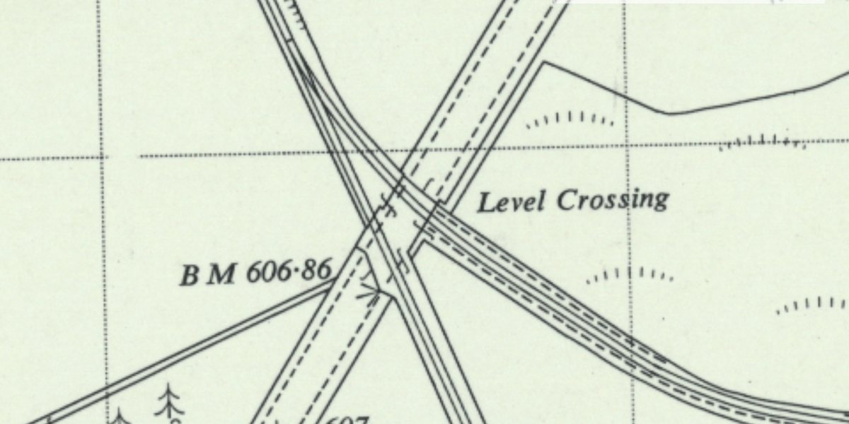
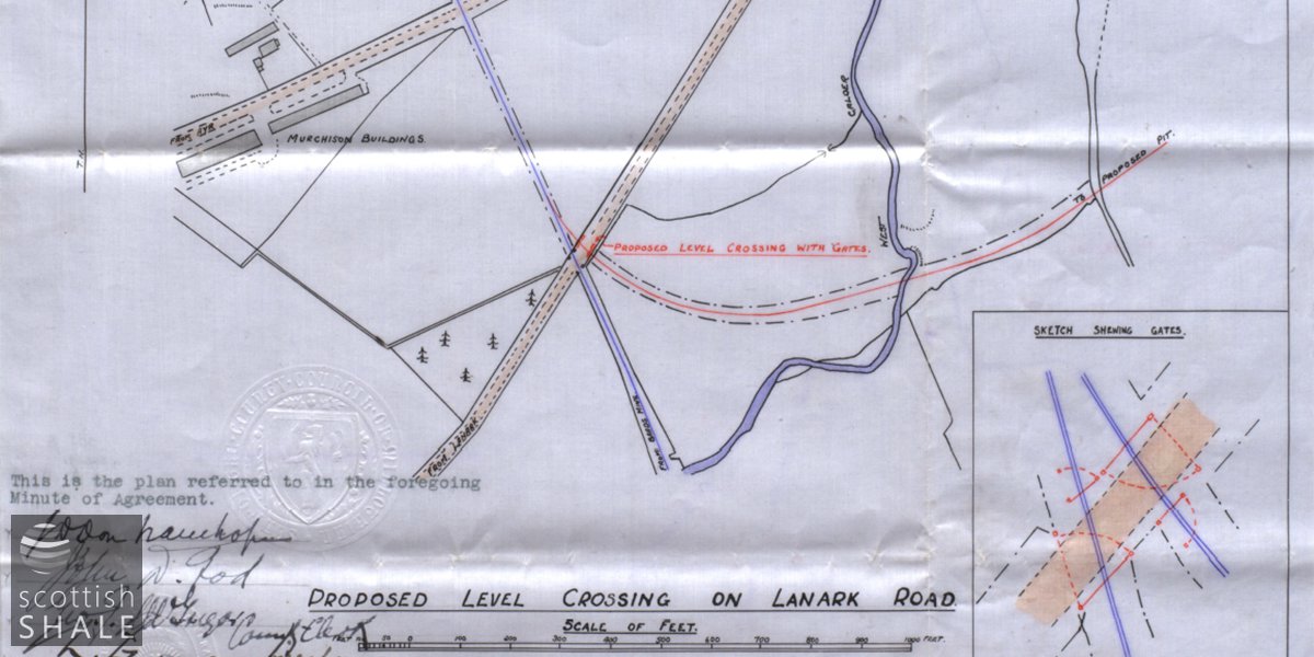
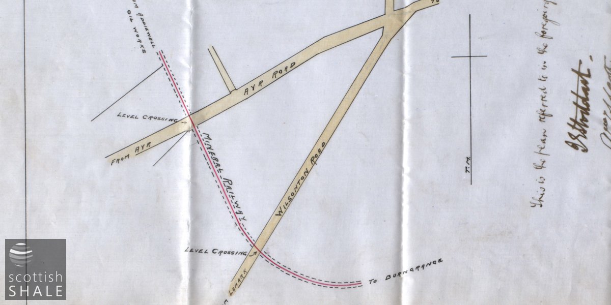
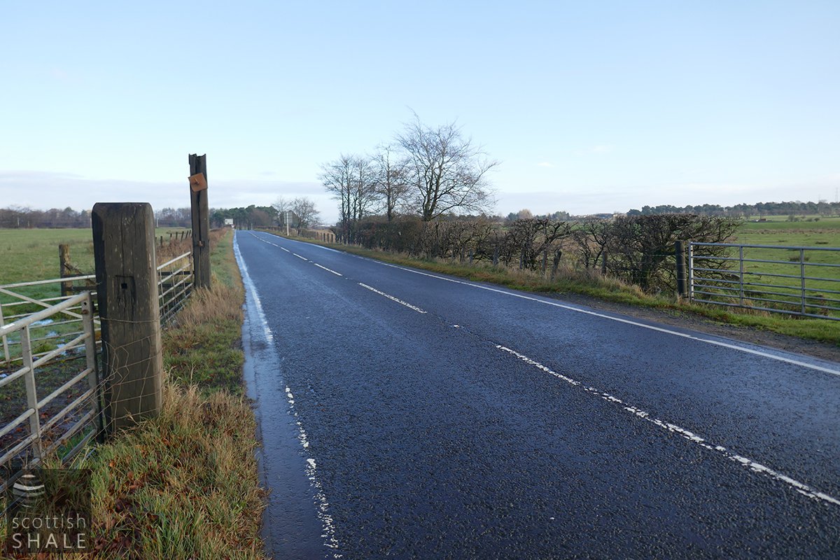
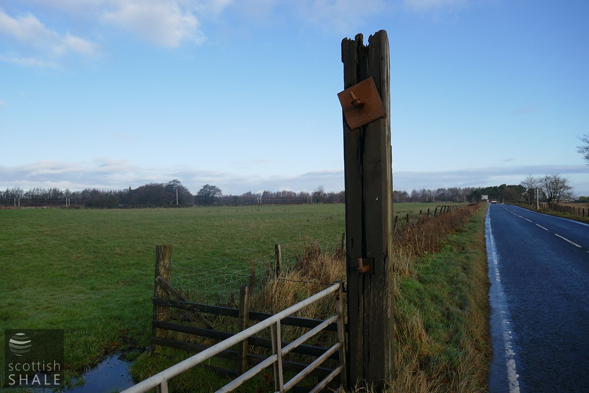
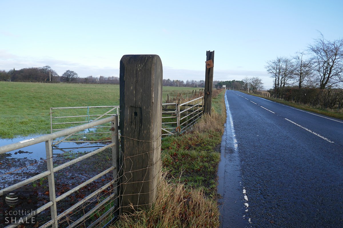
A road crossing which, at various times in its history has carried one or two lines of standard gauge rails
The line was probably built in about 1873 to link Addiewell oil works with Baads No.15 pit requiring level crossings of the Ayr Road (A71) and, a little to the south, the Wilsontown road (A704). Baads No.15 was abandoned in about 1885. The disused line and crossing seems to have been brought back into use in about 1903 to serve a new line to Burngrange No.39 mine, which operated until 1912. Follow a further period of use the line was reactivated in about 1935 to serve the new Burngrange No.1 & 2 pit. The line was subsequented extended from south of the Wilsontown Road crossing to serve Baads No.42 coal mine, which remained in production until 1962.